Forum Replies Created
-
AuthorPosts
-
SimRParticipant
I’m not sure I remember how I exactly fixed the problem.
I believe it was a combination of a few things.
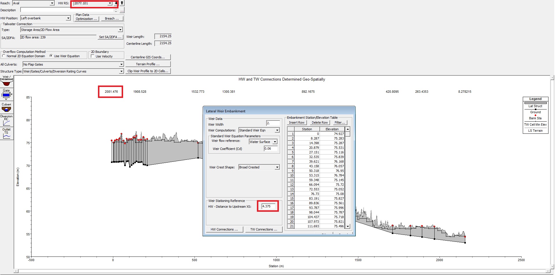
I think there is a possible issue with the way you draw the LS in HecGeoRAS. You must draw the line from upstream to downstream.
You also have to adjust the Weir stationing reference (see image)
For example: 2077.101+4.375=2081.476Also see Lonnie’s answer of course.
If that doesn’t work send screenshots of your issue and I’ll see if it helps my memory!
SimRParticipantThe model run should be long enough for the results to stabilize. For example, if you are simulating for say 48 hours and you don’t see changes in your water surface elevations for the last 24 hours then you can shorten your simulation time window.
SimRParticipantThank you both for the answers!
Reducing the timestep from 5 to 1 second and adding 1D/2D iterations does reduce the flow errors significantly.
Some lateral structures are reaching the maximum numbers of iterations and showing flow errors for the first hour of the simulation but they are relatively small and as I’m applying a constant flow it shouldn’t be an issue for the last time steps when the model is stabilized.
My boundary from 1D to 2D is mainly natural ground so should I favor 2D equations as a baseline?
I will try with lower weir coefficients and see how it works out.Good point on the break lines! Still have a lot to learn.
April 5, 2019 at 4:54 pm in reply to: 1D-2D in HEC 5.0.7 – Lateral structure weir limited to 500 points? #12160SimRParticipantThanks for the answer Scott.
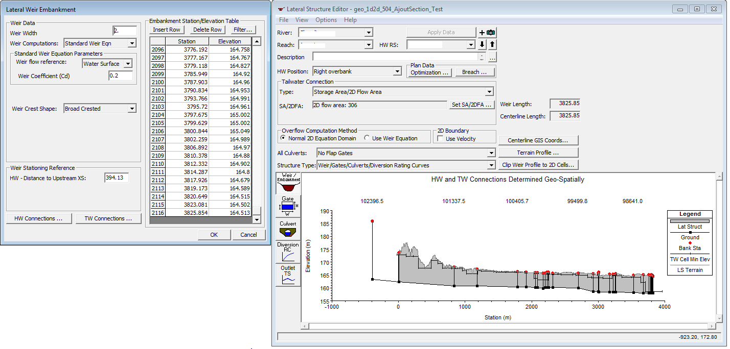
The model I have that runs has many lateral structures and spans more than 80 kilometers. This model was calibrated with observed data and is pretty stable for flows of 2 to 350 years.Every lateral structure has a couple thousand points in the Weir/Embankment Station/Elevation table. Those points were copy pasted from the Terrain Profile in the LS Editor.
Not sure I understand what was done differently for this model to allow well over 500 points for those LS without any error messages popping up. The lateral structures are broken in several pieces along one bank but all those pieces have a couple thousands points in the Embankment Station/Elevation table.
To give an example:
-
AuthorPosts

