Forum Replies Created

Viewing 2 posts - 1 through 2 (of 2 total)
  • Author
    Posts
  • in reply to: Edit Edge lines for 2d mapping #12132
    raidelmundo
    Participant

    Hi,

    how is it possible to extend the floodplain mapping with terrain beyond the XS-extends (green lines) as I can see in this picture from a RAS-solution post:

    Post is:
    http://hecrasmodel.blogspot.com/2014/09/web-imagery-for-ras-mapper-in-version-50.html

    Please help me!
    Thanks
    Raimund

    in reply to: Edit Edge lines for 2d mapping #12131
    raidelmundo
    Participant

    Hi,

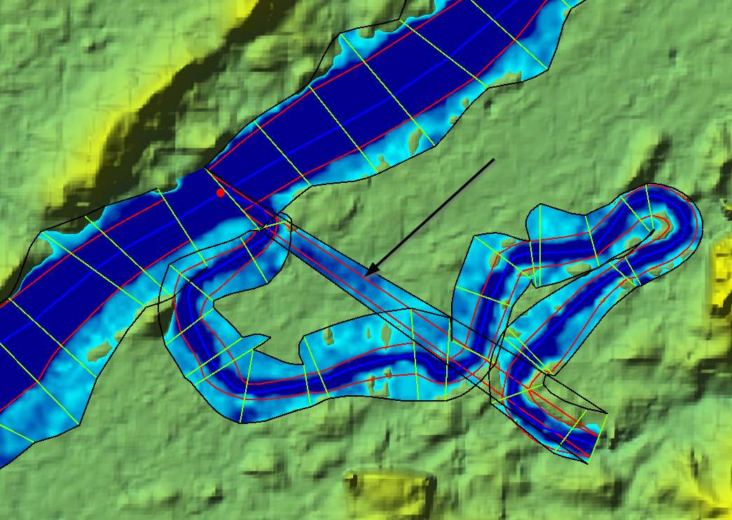
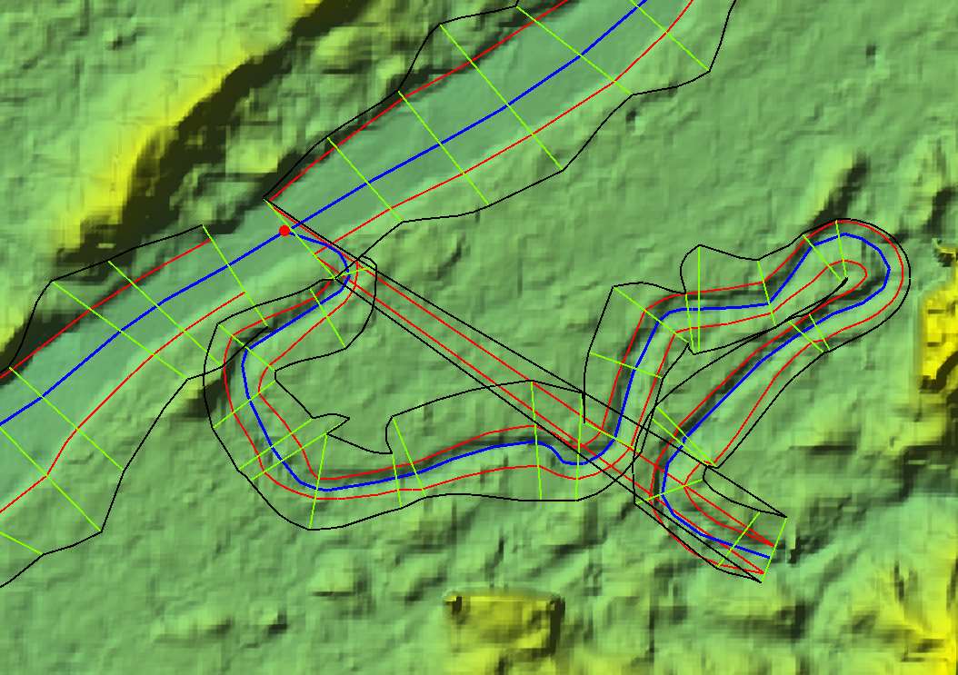
    here are some pictures of my situation:

    At the junctions, the edges are defined wrong (connected to the first XS of the tributary).
    When I try to edit them, anyway the interpolation surfaces stay the same.

    Where could I define the edges or bank lines to stay in the main river?

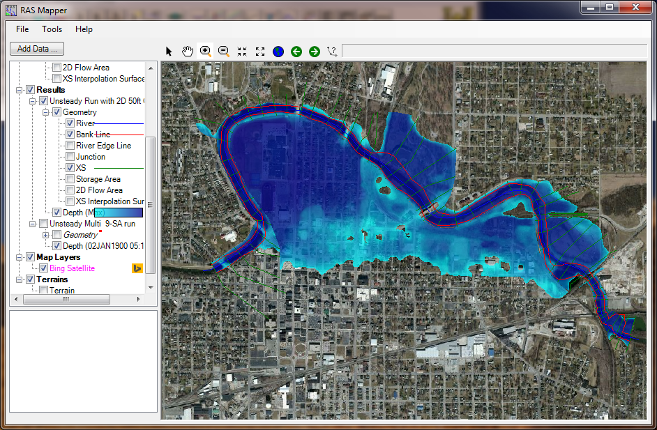
    The floodplain is only computed to the edges (black lines).

    But where the edges are defined wrong (arrow), ras mapper does the 2D-mapping with the terain in this area.


Viewing 2 posts - 1 through 2 (of 2 total)