Forum Replies Created

Viewing 3 posts - 1 through 3 (of 3 total)
  • Author
    Posts
  • in reply to: Update levee elevation #11618
    Ondřej
    Participant

    Hello NicoB,
    I am also using the QGIS with the RIVERGIS plugin and that problem never occured for me. In HEC RAS use RAS Mapper to draw new XS with use of the DTM. First you need to import the DTM in TIF format to RAS Mapper.

    in reply to: Floodplain Mapping not so satisfying results #11589
    Ondřej
    Participant

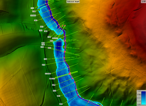
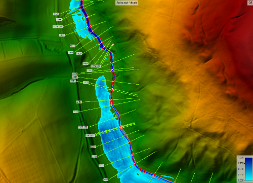
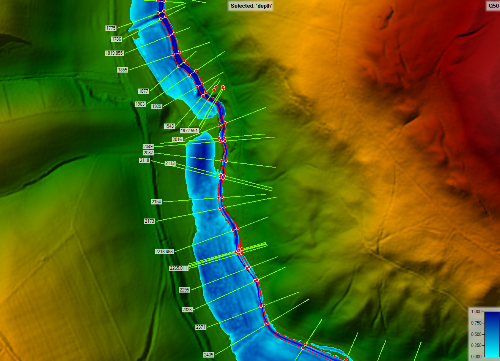
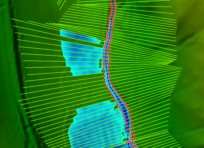
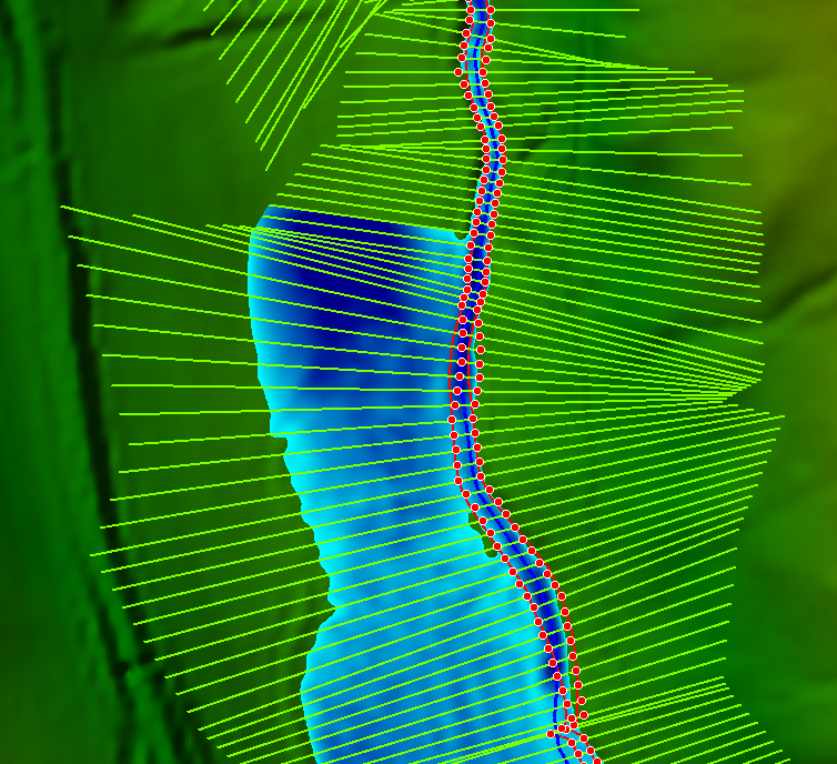
    I removed all the leeves from the model and everything looks good without that error. I also removed the interpolated XS, beucause they caused even more mess. n my model now the overbank flooding occuring, which is not what I want, in some cases it is ok. But I still wondering if is there a way to make the leeves work without described problem above.


    in reply to: Floodplain Mapping not so satisfying results #11587
    Ondřej
    Participant

    If I insert interpolated XS between the measured cross sections the flooded area remains same, in some cases the problem is worse.

    EDIT: The cross sections are interpolated by 5 meters.
    Q-5

    Q-20


Viewing 3 posts - 1 through 3 (of 3 total)