Forum Replies Created
-
AuthorPosts
-
July 6, 2020 at 12:42 am in reply to: Adding cross section datapoints to a digital terrain model #12857mistralParticipant
Thank you very much cameron.
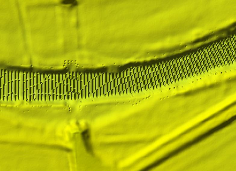
I managed to create the TIN layer, but I am not able to edit the tin to add breaklines.
The butttons of the TIN editig tool aren´t highlighted so I cant click them. Can you tell me what the reason could be?
Edit: I think I found the reason. The problem was, that the coordinate system in the TIN was not set so I could´t start editing.
July 5, 2020 at 9:37 pm in reply to: Adding cross section datapoints to a digital terrain model #12855mistralParticipantmistralParticipantAre you using dynamic time step? I had a similar failure and it helped to lower the minimum courant number.
June 16, 2020 at 10:16 pm in reply to: too high values at WSE compared to measured values in an 2D area #12833mistralParticipant
What is your roughness values? Is the water contained in the channel at all of the flows or is there flooding in the overbanks? Are you using the full momentum or diffusion wave solver? What is your cell size? How close is this location to one of your boundary conditions? It appears the comparison gets closer at higher flows, are you picking up the channel bathymetry correctly for low flows?
Hello cameron and thank you very much for your answer.
“What is your roughness values?”
–>I used the default Manning´s n Value (0.06)“Is the water contained in the channel at all of the flows or is there flooding in the overbanks?”
–>During the flood the water flows overbanks (in the real flood and during simulition).“Are you using the full momentum or diffusion wave solver?”
–>I used the diffusion wave solver.“What is your cell size?”
–>My cell size is 100 metres (about 330 ft)
–>The Length of the whole Model is about 9 km (5.6 miles).“How close is this location to one of your boundary conditions?
–>The distance from the point where the water level was measured (at gauge house), and also the computed WSE was taken from, to the upstream BC is 8 km (5 miles).
–>The distance from the measuring point to the downstream BC is is about 1 km (0.6 miles).“are you picking up the channel bathymetry correctly for low flows?”
–>I have an digital terrain model which is pretty exact I think, if it is what you meant.thank you
mistral
-
AuthorPosts
