Forum Replies Created
-
AuthorPosts
-
Lex23Participant
Right! Thanks a lot Cameron for making me realize it. My mind was a jumble because I’ve been trying to work with (basically) 2 types of geometric data – channel only, channel+floodplain. I overlooked and totally missed the fact that LOB&ROB only matter when working with cross sections of the channel and floodplain. Whew!
Anyway, just a quick question. For a river that is segmented into lower and upper reach because of a tributary, is the reach length of the most downstream XS (of both the upper reach and tributary) measured from the node/junction? Or is it from the XS directly ‘next downstream’ to it (which is the most upstream XS of the upper reach)?
Thanks a lot!!! 🙂
Lex23ParticipantHi!
I was able to save the cross sections and centerlines from RAS into shapefiles using RAS Mapper. However, I can’t seem to follow steps 5 to 7. Did you mean that I need to copy the values in the attribute table of the exported shapefiles into the attribute tables of RAS layers I created in ArcGIS?
If yes, I don’t think I can do the simple copy and paste because the two layers have different fields in their respective attribute tables. I tried the other methods as well (i.e. join option), but the resulting layer doesn’t have rows because the the RAS Layers I created in ArcGIS don’t have values in the table.
Am I doing it the correctly the way you outlined it? Did this method worked for you before?
Thanks a lot for the response!
Lex23ParticipantHi Everyone!
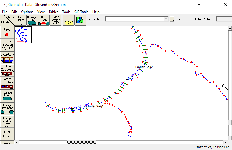
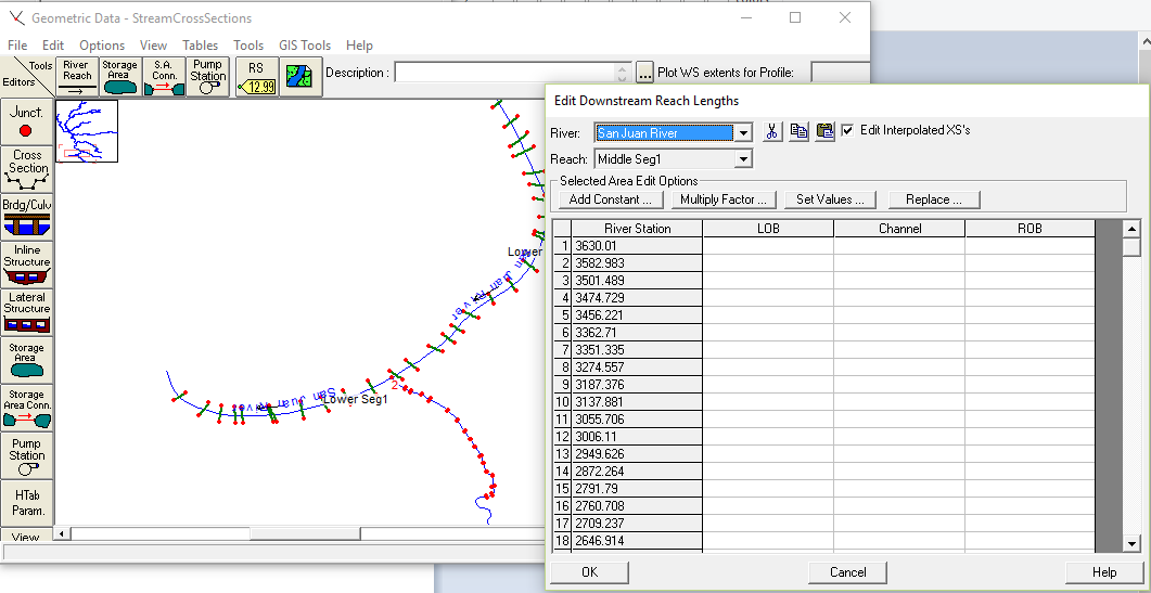
I’d like to ask about this problem that I encountered. I kinda have a similar issue with the original author. However in my case, the cross sections (survey data in CSV file format) appear the way I expect them to be since they have georeference data (northings, eastings, elevation). This was verified when I imported the river network centerlines that I digitized in ArcGIS using HEC-GeoRAS. When I tried to proceed editing the geometry (i.e. adding XS by interpolation), I wasn’t able to do so because it appears that the table for downstream reach lengths doesn’t have values for LOB, Main Channel, ROB.
Doesn’t RAS compute these values? If not, how can I determine those values?
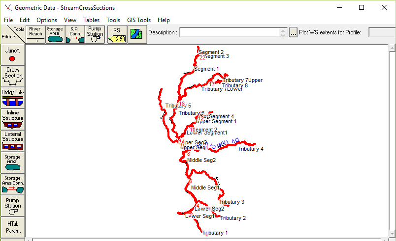
Also, is there a way I can possibly fix this problem without resorting to the process of creating XS in GIS (seeing that I have quite a lot of cross sections and a dendritic riverine)?I hope someone can shed some me some light. I’m stuck with this issue.
Thank you very much!
PS: The cross section data that I have are surveyed data of the CHANNELS ONLY
PPS: Here are some images to show my problem: -
AuthorPosts


