Hi,
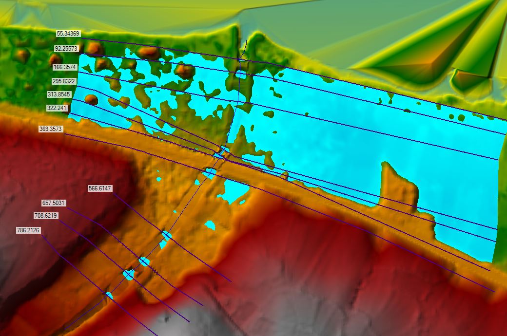
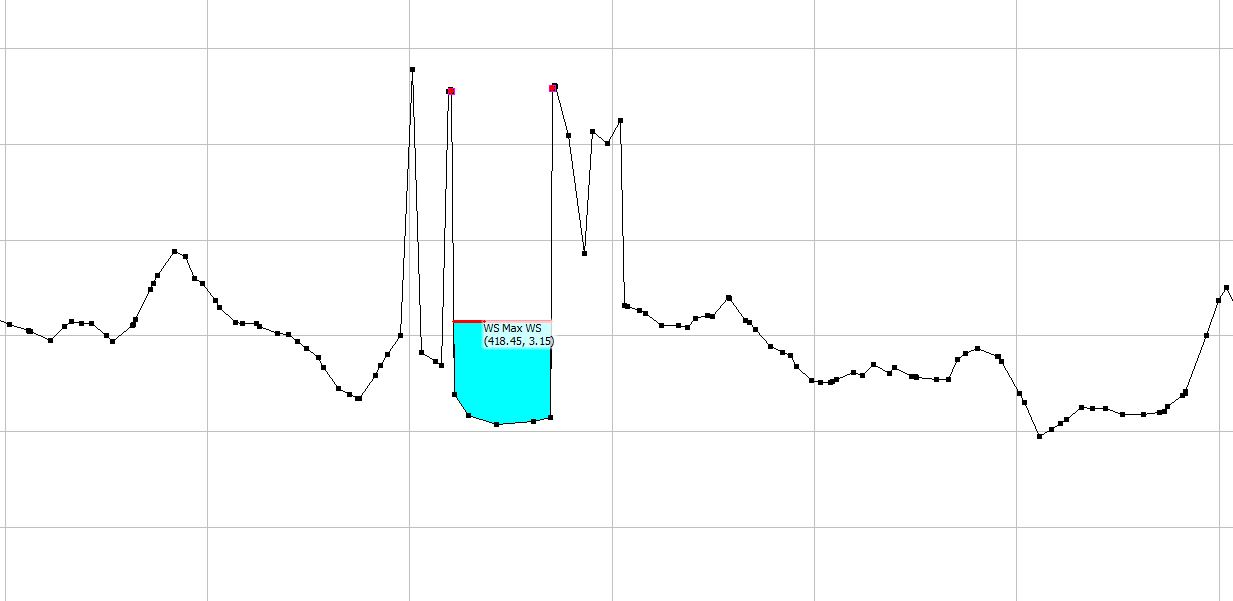
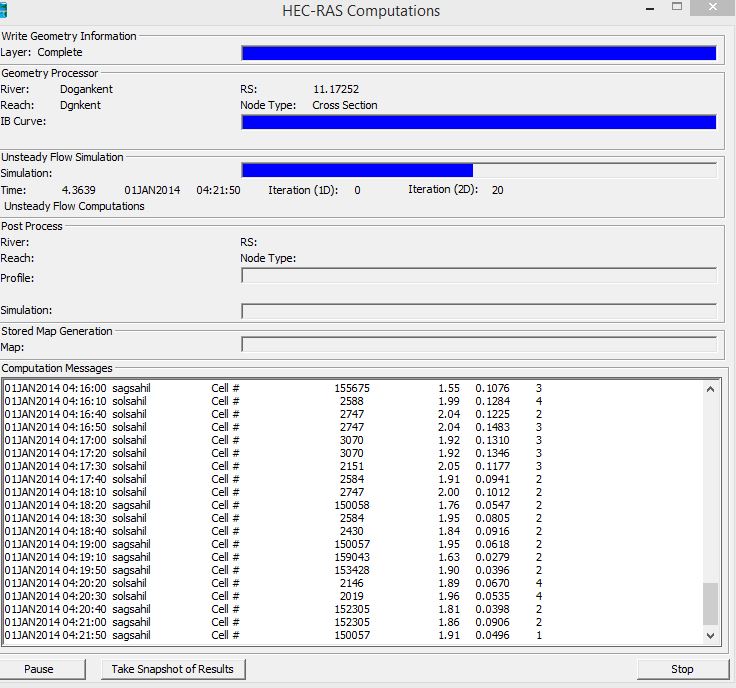
I ran a model and there is no overtopping beyond the banks on cross sections. However, the rasmapper view shows water anything below WSE.
I dont want Rasmapper show water if the water is not going over the banks.
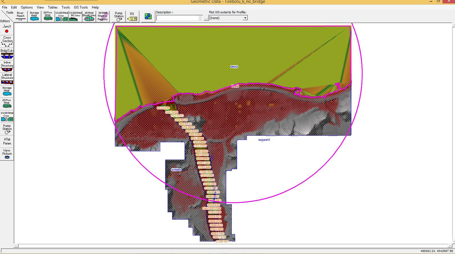
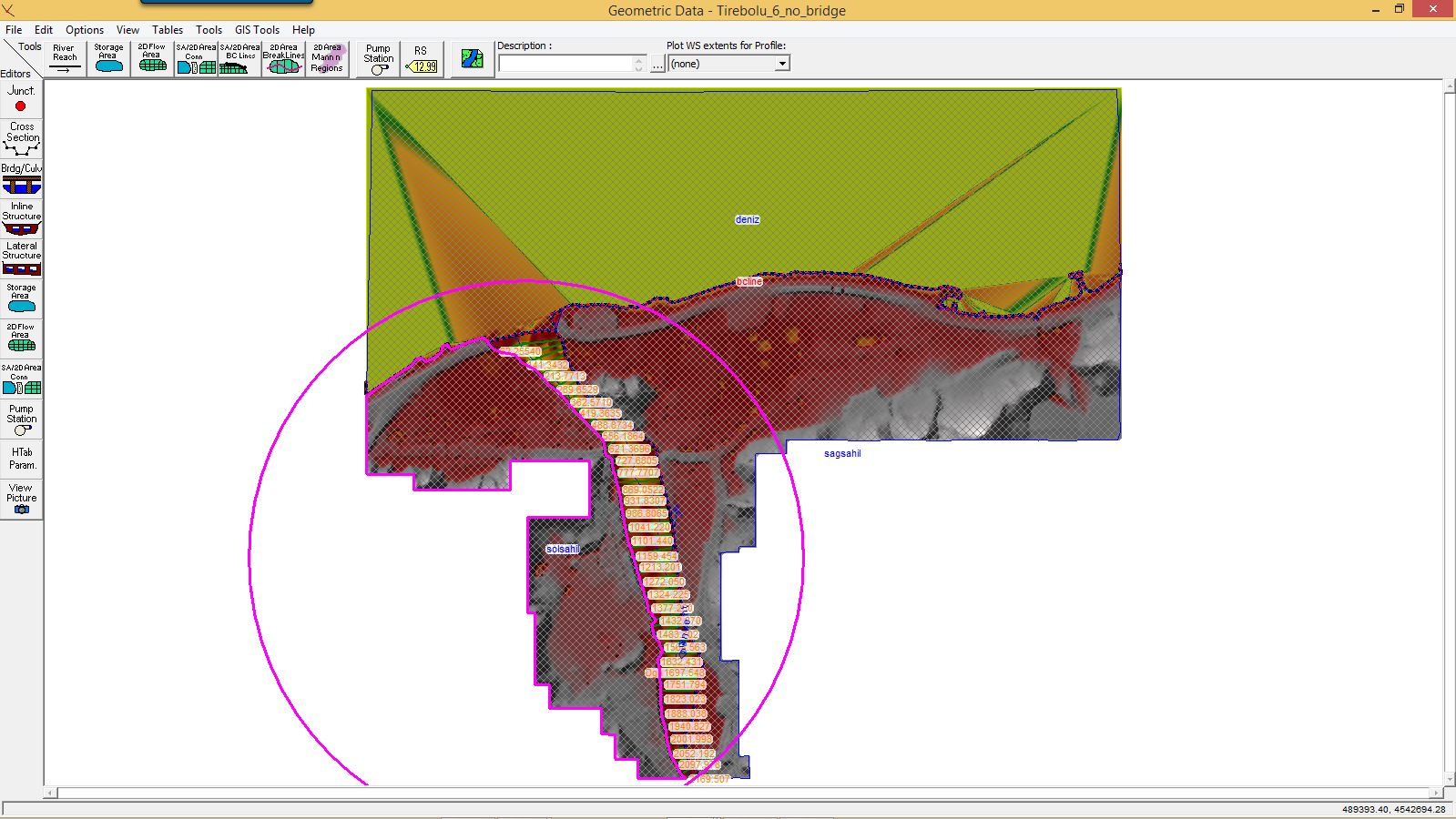
I added the levee markes too but still shows water in areas where there is njo flooding.
Below is a picutre. For example cross section 166.35 should show no water around on Rasmapper by looking at the result in corss section view.
I want to keep the long cross sections.