This is related to my previous post but taking it another step.
First Item:
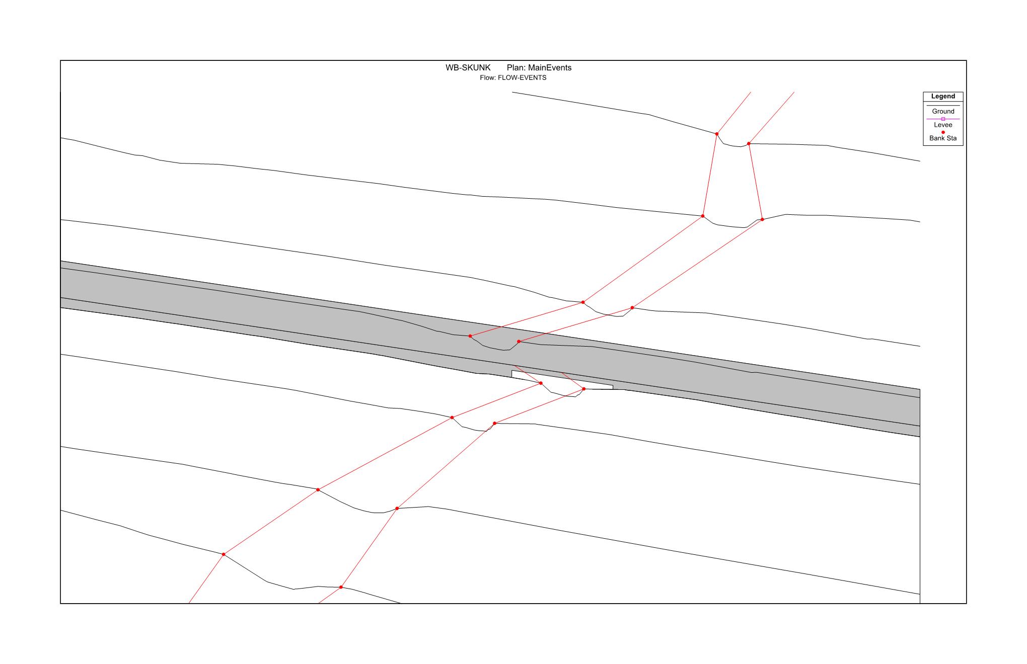
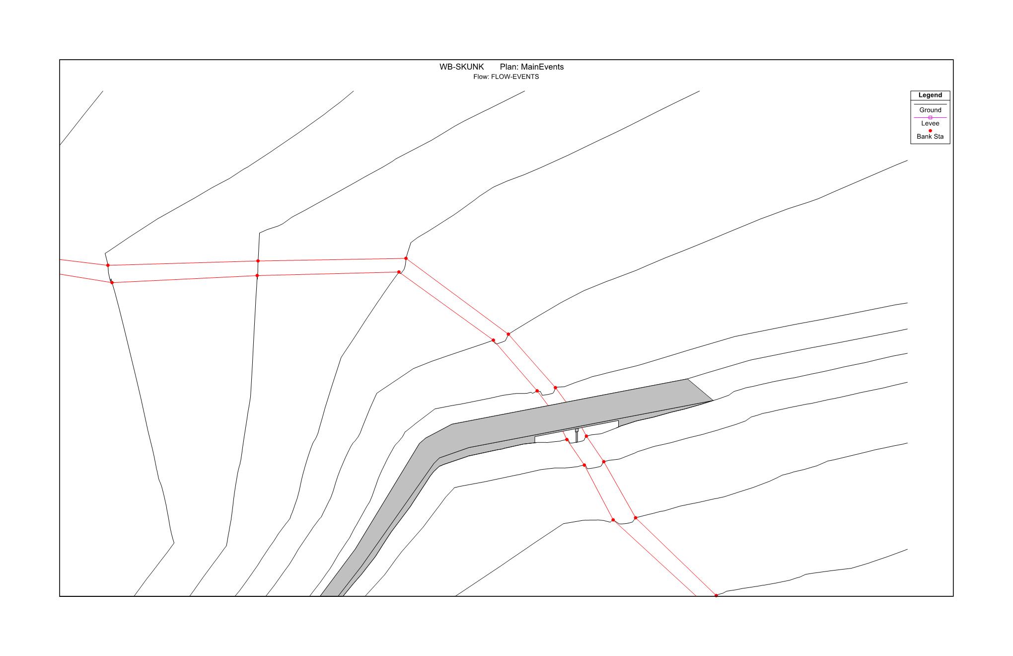
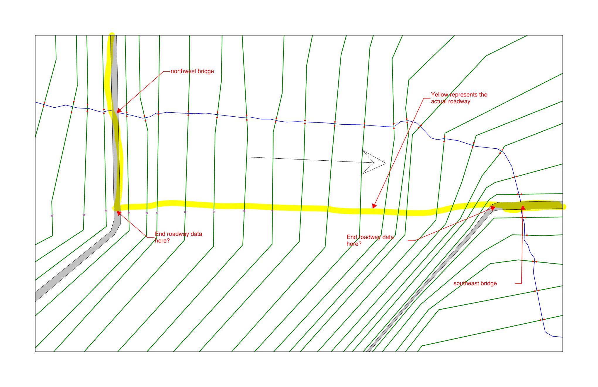
I have entered in some bridge data and am now really questioning my approach on these x-sections. Please refer to the plan view attached exhibit. I can obviously end my roadway data at the point the x-section veers away from the actual roadway. Should I be revising these sections on the southeast bridge to parallel the roadway for a longer distance, then cross the roadway? my sections on the south side of the roadway will become extremely bunched together if i do this.
Second Item:
When I enter the bridge data in for the northwest structure, it puts a drastic jog in the bridge section related to the upstream and downstream sections. I’ve entered the bridge data in with the bridge design tool and also manually with distance and elevations with no luck. It looks fine in the plan view but not in the xyz perspective. The southeast bridge turned out just fine.
I’m considering breaking these two bridges into two separate projects so I can better accommodate the x-sections but what are the chances my water profile elevations are going to match up for the different storm events?


