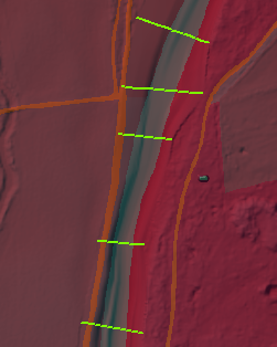
I have a 15km breach for computing flooding extents. What do you recommend as a resolution for DEM? Do you recommend to have different resolutions for channel data and terrain?
Do you recommend to have different cellsizes for landuse and DEM-Data? How is the finer resolution of landuse data considered while in the computation? What resolution do you recommend for landuse data?