Welcome to the RAS Solution Forums HEC-RAS Help What’s the strategy to render the interface after the unsteady flow analysis computation?

Viewing 4 posts - 1 through 4 (of 4 total)
  • Author
    Posts
  • #6884
    steveqi
    Participant

    I am doing a job about flood simulation. First Step I add a terrain into the RAS mapper and then edit the geometry data in which I add an 2D area and upstream and downstream BC lines and generate the computation cells. The cells showed in RAS mapper are like this:

    After the computation, some results showed in RAS mapper are like this:

    The pink color represents the Water Surface Elevation. At first I thought every cell would be filled to full if the cell had a value and then the interface would be rendered. But the image showed above means that’s wrong. So what’s the true strategy or algorithm to render the interface? How does the data or value be used to achieve the image above?
    Could anyone help me to solve the problem? I’m glad for any help.

    #11364
    Anonymous
    Guest

    If what you said was correct, the inundation boundary would be all boxes. Each cell face has a cross section, each cross section contains sets of data for which it is determined if water transfers from one to the other amongst many other things. The rendering options can also be modified in RAS mapper but not to represent how you are describing it. That is not how the software works. The 2D users manual described this in further detail

    Edit: I just saw there is now a Wet cells inundation mapping. See HEC RAS supplemental manual

    #11365
    Anonymous
    Guest

    Hi Luis, thanks for your reply. I have read the HEC-RAS 2D Modeling User’s Manual recently. I think my description is not well. I must change that.

    After I ran the unsteady flow analysis, I got the results including WSE, Depth, Velocity and so on in HDF5 file. The results are performed just like “timestamp-cell-value”.

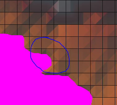
    At first I thought every cell would be filled to full if this cell had a value. But when I viewed these layers in RAS Mapper, it showed that’s wrong.

    The HEC-RAS 2D Modeling User’s Manual writes this in chapter 5: “The layers will be computed and displayed on-the-fly, meaning RAS Mapper reads the computed model result from a file, then it computes the map in memory and displays it as needed.”

    The documentation introduces two map render modes: Dynamic mapping and stored raster information. I think what I’m referring to is the Dynamic mapping. But the documentation does not introduce the way how RAS Mapper computes.

    So, what I want to know is how RAS Mapper computes the results from the HDF5 file(maybe another file). Is there any algorithm or strategy?

    #11366
    osterwald
    Participant

    Hi, did anybody get some progress on mapping depth to terrain.
    I would love to know which algorithmus is being used for sloping rendering mode (interpolated values)?

Viewing 4 posts - 1 through 4 (of 4 total)
  • You must be logged in to reply to this topic.