Welcome to the RAS Solution › Forums › HEC-RAS Help › Using Lateral Weirs with Dam Breach and 2D Flow Areas
- This topic has 6 replies, 453 voices, and was last updated 8 years ago by bmbpenguin.
-
AuthorPosts
-
February 28, 2018 at 1:05 am #6797bmbpenguinParticipant
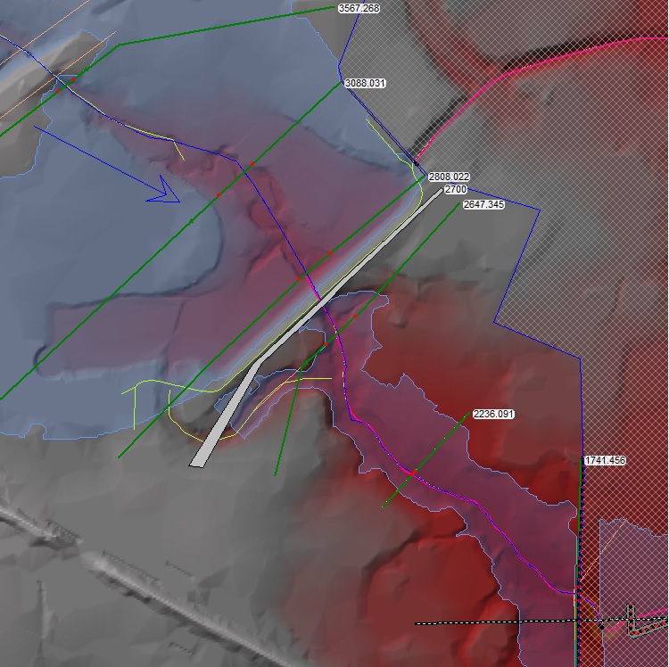
I have a small dam that has 2 secondary discharge channels in addition to the primary discharge pipe. The two secondary discharge channels go in two different directions (NE and S). I am modeling a dam breach and have to have a 1D model through the dam breach, then can switch to 2D for the overland flow through a subdivision that is needing to be mapped. I model the one NE secondary discharge as a lateral weir leaving the system (and into a 2D flow area) and leave the remaining primary and other secondary discharge as part of the main dam. If the dam were breached the initial secondary discharge would not be part of the breach flows, therefore I need to remove it from the system for the breach. Nothing is gated or controlled, it is all gravity. I can get the entire model to work including the 1D unsteady, breach and 2D connections. I have modelled all the weirs as rating curves. Where I am having a problem is that my lateral weir requires that I have a physical weir shown in the model or it will not transfer the flows. However, when I do this, it sets a tailwater elevation that is more than 0.8′ higher than the incoming flow elevation. Where this becomes a problem is that my 2D flow now routes around the dam in a manner that it cannot at the elevations it should be at. This causes additional flow in areas where it should not be. How can I control the tailwater elevation for lateral weirs?
I am using 5.0.3. Would also like to see how you can breach a dam in 2D without having to go back to the 1D cross-sections. Guess i’ll need to wait for future version…
Thanks for any advice, assistance.
February 28, 2018 at 1:23 am #11217cameronParticipantYou can do an all 2D model with a dam breach and no 1D cross-sections. Why do you need a 1D model through the dam breach?
February 28, 2018 at 1:25 am #11218bmbpenguinParticipantTried that at first and it would not route any flows during the breach. It is like it never saw the water behind the dam. In reading the HEC-RAS users manual it said the proper way to handle a dam breach was to do it via 1D unsteady, then transition back to a 2D.
February 28, 2018 at 4:54 am #11219cameronParticipantTake a look at the example 2D models that come with HEC-RAS. There are multiple dam breach examples where they do all 2D, 1D/2D, and storage area to 2D.
February 28, 2018 at 10:48 pm #11220bmbpenguinParticipantI guess I need to restate my question as folks are focusing on the Breach portion of the problem.
I have a lateral weir that has a tailwater elevation that is higher than the very top of the weir. How do I adjust the tailwater conditions? I am using a rating curve for the outflow, but the tailwater condition is affecting that outflow and causing additional flooding that does not occur. The lateral weir is connected to a 2D Mesh.PS – I have tried all of the options in the HEC-RAS sample problems and the 1D to 2D was the only one that was stable and actually gave me the breach wave.
March 2, 2018 at 3:35 am #11221cameronParticipantWhat does the profile of the lateral weir look like and what are the ground elevations where the mesh starts? Since the flow is going into a 2D mesh, the terrain in the 2D mesh is controlling the tailwater conditions.
I would think that an all 2D model would be far more stable than a 1D/2D model for a dam breach.
March 2, 2018 at 7:40 pm #11222bmbpenguinParticipantThe top of the later weir is elevation 879. The ground surface on the Mesh is 875. The flow over the weir is controlled with a rating curve instead of the actual weir, therefore the weir is above what the highest flow would get to. HEC-RAS requires a weir to be in place to be able to use a rating curve for the lateral weir discharge. It is what places the RC on the cross-section and points it to the mesh.
I have run it with the weir set to the ground surface and do not get the results we need either. Hence the reason for the RC. The purpose of the RC is also to make sure the breach flows are right, as 33% of the flows go through this weir and not through the main dam structure, therefore reducing the breach flows during a PMF event. Where the problem comes in, is that it is giving me issue down stream of the weir where I am trying to get a floodplain of the weir flows. The watersurface elevation is increasing as the weir flow leaves the lake.
-
AuthorPosts
- You must be logged in to reply to this topic.
