Hi Chris,
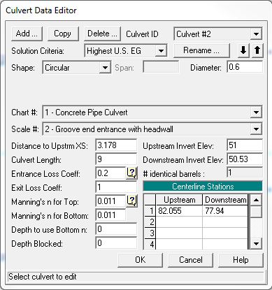
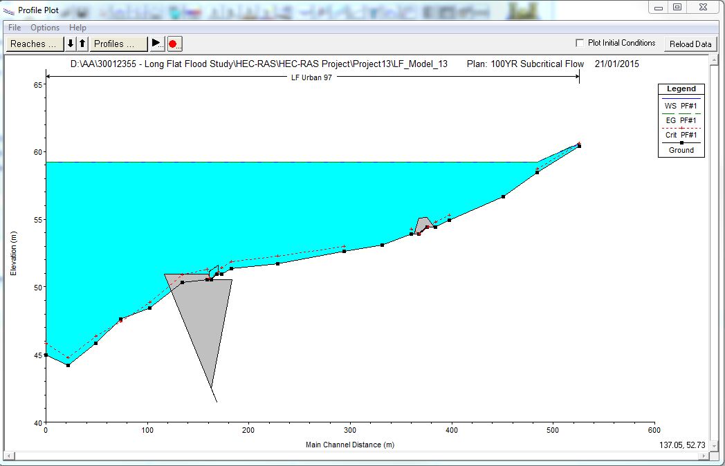
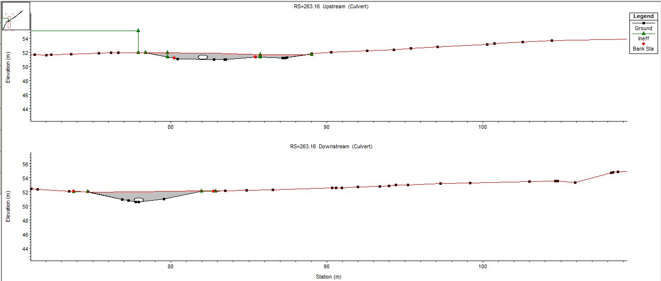
I am having an issue with the display of the road deck in the water surface profile. It is the culvert/ road deck on the left which is displayed as:
The road deck is below the ground elevation and outside the bounding x-sections upstream and downstream of the culvert. However, the culvert is correctly placed.
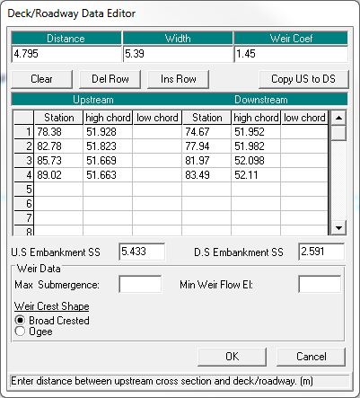
I checked the road deck inputs and all the inputs are correct. The road deck is correctly displayed between the bounding x-sections in the geometry editor. The cross section is also displayed correctly.
I thought the issue might be caused by the downstream x-section being wider than the upstream x-section and tried clipping the d/s x-section. However, results remained the same.
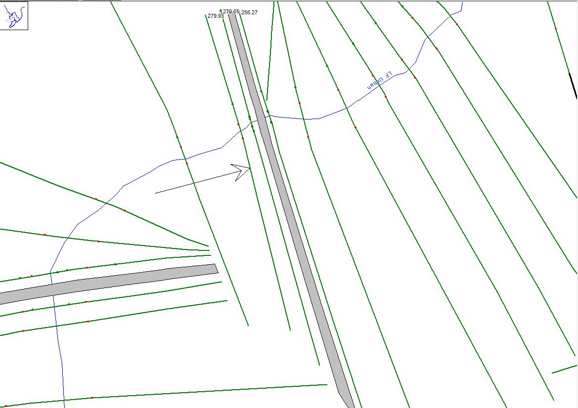
The x-sections were created on 12D and imported to HEC-RAS.
Would you have any idea why this might be happening?
Thank you in advance,
Asi