I’m currently working on a 1D/2D model by lateral structures.
So my 2D domain is everywhere behind the river banks.
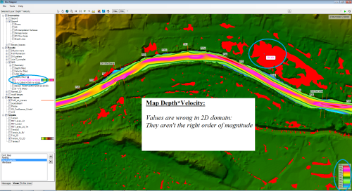
I have noticed my Depth*Velocity map from Ras Mapper is wrong in 2D domain (see pic).
The 2D values aren’t continuous and aren’t the right order of magnitude.
But in 1D domain they are.
My Depth*Velocity² map have the same issue.
Have anybody noticed that as well ?
What should i do to have a current Depth*Velocity map from Ras Mapper ?
Thank you for your help.
