Has anyone experienced this problem? My RAS output Water Surface Extents shows a certain path, and my delineated floodplain shows another! Inconveniently enough its right were I am trying to show a house gets inundated.
I know the process subtracts the Water Surface Generation Grid from the selected terrain, but my selected terrain (a TIN) is the same from pre-processing with setting up the RAS reach.
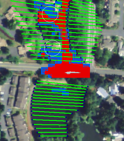
I solved the problem. My interpolated cross sections did not follow the true topography of the channel and due to the infrequent “real” cross sections created discrepancies between RAS and GIS.
Lessons learned: When using LiDAR data take real cross sections very frequently to avoid deviations topographic deviations.