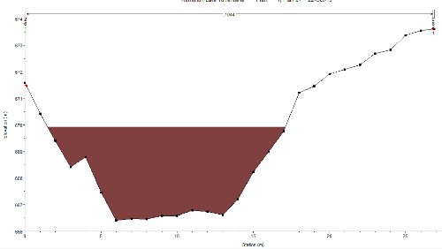
So I investigated the possibilities that offers the “fixed sediments elevation” tool in the geometry editor, which seems to partially answer my question :
– I managed to fill my profiles with sediments under a certain altitude by indicating the US XS and the slope that I needed.
– I did not manage to use the sediment elevation for the XS elevations (the method does not change the profiles geometry, so when I export my interpolated XS in Ras Mapper I obtain the original elevations. I need to do this for my full 2D model…)
Any idea how to fix this?
Thank you,
Zoran
