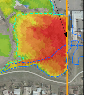
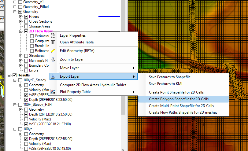
Hello. I’m trying to extract the 2D mesh to gis as a series of polygons, one per cell, and then assign water surface elevations to each cell for visualization and reporting needs. I’m striking out with google and the documentation. I’ve also looked at the hdf5 geometry file and think i can create the cells from there, but wanted to verify there wasn’t an easier route before doing this the hard way. Example desired output is below (from a SMS/SRH-2D model), but I would like to label elevations in addition to colors, so a raster wouldn’t be the best. Any suggestions?
Thank you,
Mike