I am using 2D Direct Rainfall modeling (precip as the only inflow) in HEC-RAS to try and evaluate changes in downstream inundation extent by modeling different size/places breaks in conveyance levees around a stock pond. I am using profile lines to extract flow and accumulated volume information across the breaks I am making in the levee. I am wondering why there would be differences in accumulated volume across the profile lines that are w/in 3m of each other across an ~3m break?
I inserted the levee break by creating an artificial reach across the levee and letting the program to interpolate between XS. Is there a way to clean up the interpolation so the levee break is not chunky or is that an artifact of the angle of the channel and my terrain resolution? (0.5m DEM)
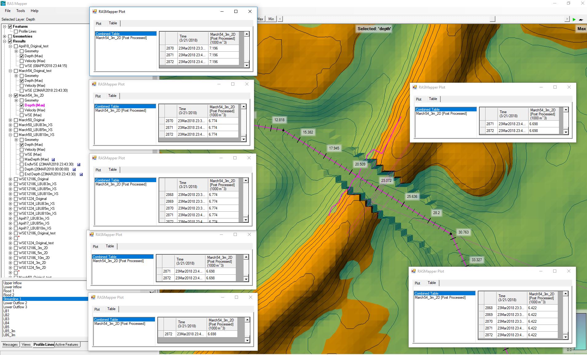
Profile Line Time Series for Accumulated Volume for Profile Lines Drawn L->R
– some adjacent lines of differing lengths return the same value, lines further downstream or upstream do not
Volume Accounting Percent Error for the Model Run was 0.04726