I am performing a dam breach analysis, specifically flood routing giving the breach flow. After the breach, water will flow mainly overland and join a river. The river is already modeled in a FEMA HEC-RAS model. Can you please help in my following questions?
– no channel can be identified from DEM and aerial image data. What is the way to create the reach, bank station, and cross-sections?
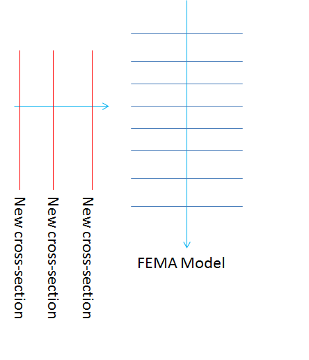
– what is the way to connect my new cross-sections to FEMA model cross-sections? Lateral structure cannot be connected at MY most downstream cross-section. A schematic is attached.
Thanks for your help
Hailiang