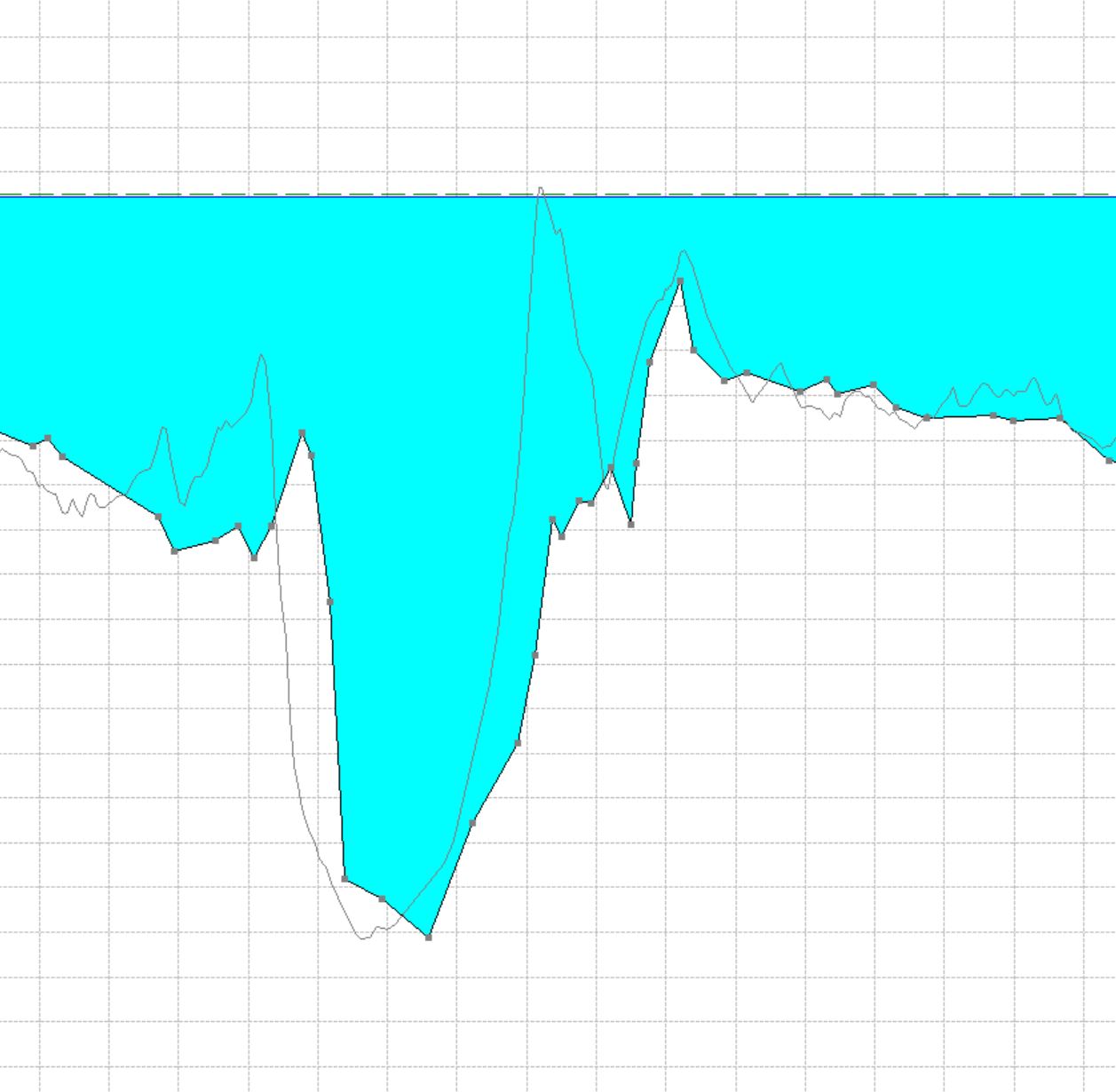
Hi. I have a question. Maybe it sounds silly, but I have modeled a river with data extracted from Civil 3D (DTM) and imported in HecRas. I used 1D calculation and I interpolated in hecRas more sections (inital 250 m between sections, and now 50 m). Than I converted the terrain from Civil and imported it in RasMap for 2D calculations. Now in my cross sections I can see both the imported terrain and interpolated cross sections overlaying and they are different. The terrain match only with the exported cross sections, which seems logic. But can I adjust the interpolated cross sections to match the terrain? Is this thing going to influence my results? Thank you.
