Hi Im new to Hec Ras and using it for habitat modelling in my thesis.
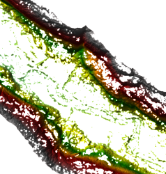
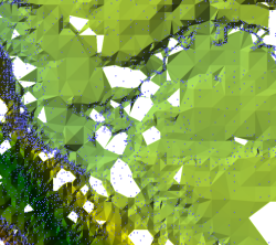
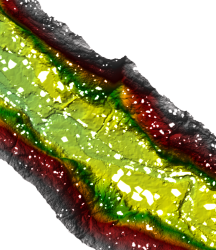
I need to create a Terrain out of XYZ points (originally .txt) therefore I displayed them as XY data converted the points into a raster and then into .flt. Ras mapper then imports the flt. file but doesn’t display a continuous terrain when zooming in. I then tried to create a terrain out of several .flt files with different cell sizes which improved the terrain but still im not satisfied with the result.
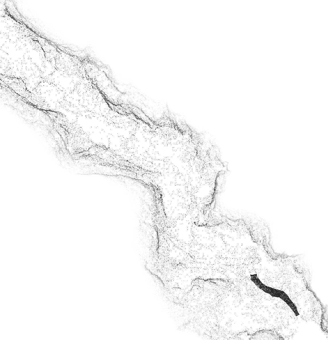
As far as I see it the problem is that I have not equidistant points in the first place ..
Hopefully someone has an idea I would appreciate any advice.


