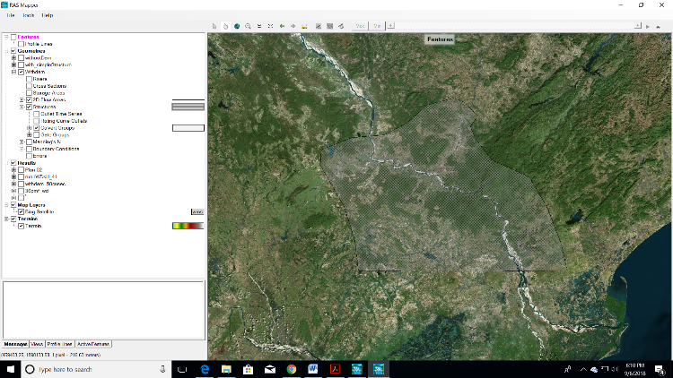
I am using terrain derived from SRTM 30m dem. By associating this terrain fill with geometry I created geometry and made few runs. It worked well. However, I noticed there is a mismatch in the coordinates in the Geometry editor and Ras mapper. Projection file is also supplied (in UTM)
The background image in Rasmapper is okay but background image(bing map) in the geometry is showing different location.

