Welcome to the RAS Solution Forums HEC-RAS Help Adding cross section datapoints to a digital terrain model

Viewing 4 posts - 1 through 4 (of 4 total)
  • Author
    Posts
  • #7709
    mistral
    Participant

    Hello friends,

    I´m modelling a 2D flood simulaion. As a basic data I use a digital terrain model.

    Unfortunately my terrain model includes the water surface data, not the data of the river bed.
    (Maybe because of radar measured data).

    Now I got the river bed data. I got them as shapefile (including *.shp ; *.prj ; *.shx).

    But I don´t know how to correcttly implement these points into my model, to get the correct bed height without the water surface.

    Simply importing the shapefile with the Points will not work I guess.

    Here is what I have tried until now:

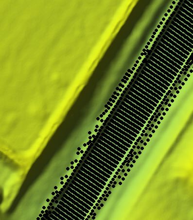
    –>I imprted both layers (terrain model as a tif and cross porfile points as a shape file) into ArcMap.
    –>Then I converted the shape file to raster file.
    –>After that I used the ArcToolbox “Mosaic To New Raster” to merge both files to one new Raster.

    Unfortunately the result still uncluded the water surface data.

    Could anyone help me to solve this problem? This would be very kind, thank you very much.

    Mistral


    #12855
    mistral
    Participant

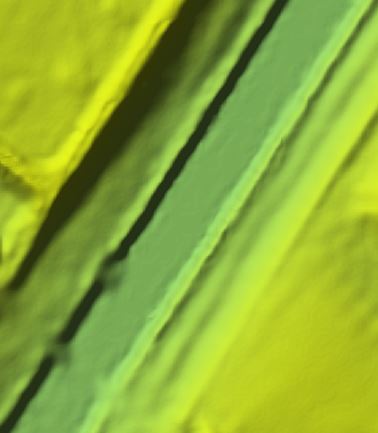
    Merging (Mosaic To New Raster) with ArcMap now worked.

    Is there a possibility to smooth the raster layer of the river bed in ArcMap or Hec-Ras? For smoothing I do need the lowest elevation of the river bed, to get the nearest to the measured data.

    Thx very much

    mistral

    #12856
    cameron
    Participant

    You need to create a raster/tin from the points and then combine that with mosaic to new raster. You may have to add breaklines with the tin to get it to look correct before combining the rasters.

    #12857
    mistral
    Participant

    Thank you very much cameron.

    I managed to create the TIN layer, but I am not able to edit the tin to add breaklines.

    The butttons of the TIN editig tool aren´t highlighted so I cant click them. Can you tell me what the reason could be?

    Edit: I think I found the reason. The problem was, that the coordinate system in the TIN was not set so I could´t start editing.

Viewing 4 posts - 1 through 4 (of 4 total)
  • You must be logged in to reply to this topic.