Dear HEC-RAS Users,
I’m currently using HEC-RAS in university for a rainfall 2D simulation with mesh only. Everything worked out fine, but I think there’s something wrong with my results. Since it actually is my first HEC-RAS project, I feel a bit lost and would be very glad if someone could give me advice.
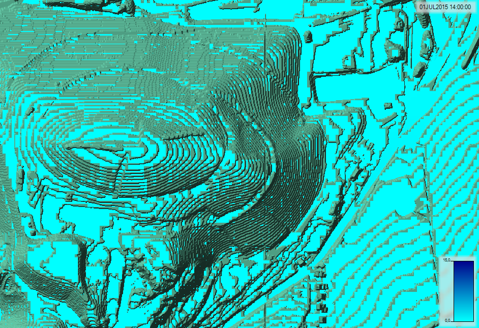
I run unsteady flow on a 1m terrain and 5m mesh for a 1 hour intensive rainfall with 2 hour simulation duration. In the screenshot you can see that at “contour lines” of the terrain there is a gap with no data of depth. The depth on the higher plain does not reach to the slope whereas on the lower plain it goes until the slope. I could understand that the slope itself has no depth because the water just runs down to the lower plain. But judging from the depth levels it seems for me that the plains are not really connected, that there is not really water flow from upper to lower plain. For example, even at the end of the simulation (after 2 hours) that high mountain on the left still has water even on the very top planes whereas I would expect the water would all run down the mountain.
I thought the reason for why on the slope and upper plain of a mesh cell is no water but only on the lower plain of that mesh cell is because the mesh cells do not have flat bottom. Is this correct? But this can not explain why at the end of the simulation high elevations (e. g. the mountain) still have water on the very top of it. Is it because I deleted decimal numbers in the terrain with ArcMap in the beginning? Or I also noticed that the terrain and mesh grids (for whatever reason) do not 100% overlap, but there is a slight offset.
Does anyone know a solution to this?