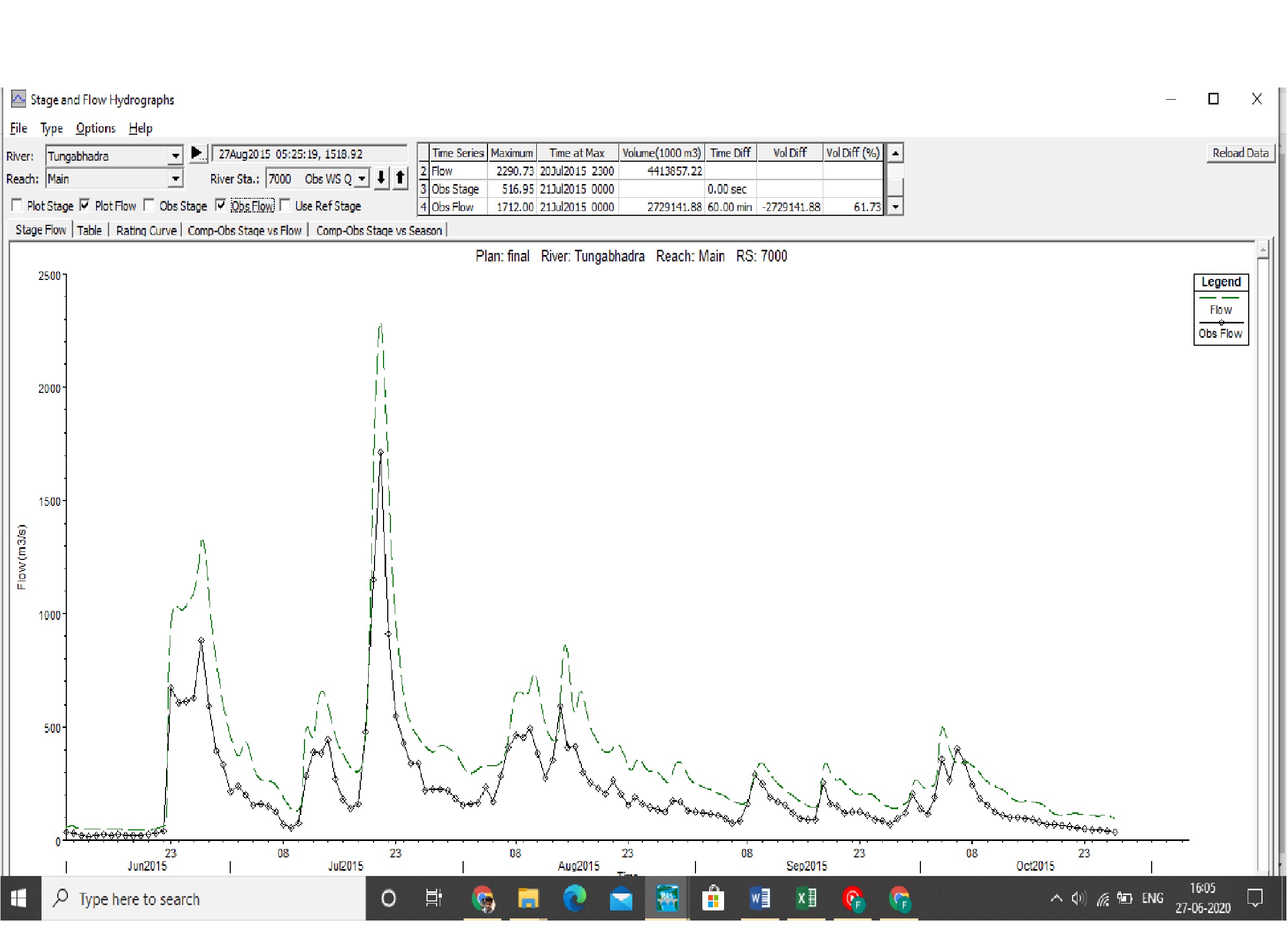
Is this based on only one inflow or do you have multiple inflows? Did you set a minimum flow value or multiplier for your inflow? Are your inflow hydrographs correct (values and time interval)? Are your reach lengths set correctly? Is there any detention that would reduce the flows down?
Only one inflow but 3 lateral flow. No , no minimum flow or multiplier. Yes it’s taken from verified source. Reach length in calculated from Digital elevation model in RAS mapper. River is straight and no storage area in river section.