
February 20, 2025
Full Momentum Episode 37: All Things Gates
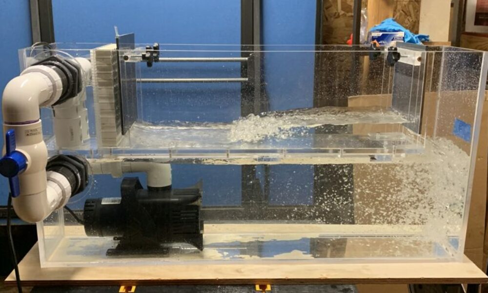
Gates play a crucial role in hydraulic modeling, impacting water flow, flood control, and dam operations.
(Initial post 19 Feb., 2015. Updated 20 Feb., 2015). I continue to be more and more impressed with how user-friendly and robust the new 2D feature is in HEC-RAS. However, there are some issues to be aware of, particularly in how results are mapped. I want to take the next two blog posts to highlight two of the more important mapping problems to be aware of. Today’s post covers what I call “Fragmented Inundation”, or fragmented mapping. If you’ve run some 2D data sets already, you are likely to have seen this, especially if your 2D area starts off dry, you have steep terrain, and/or your cell size is too large. Fragmentation usually shows up just as a part of a 2D area becomes wet (i.e. very shallow depths), and tends to go away as depths increase. Very rarely do you see fragmentation in the maximum water surface plot. Here’s an example of fragmented inundation:

Notice the isolated “ponds” of water in some cells, disconnected from the water in its neighboring cells.
First off, fragmented inundation is mostly a graphical phenomenon. By that, I mean computationally a hydraulic gradient is realized between neighboring cell centers. Fragmentation appears simply because currently the computations in HEC-RAS result in a single water surface elevation per cell. During computations, a hydraulic gradient over the cell is computed in 2 dimensions using the fully dynamic or diffusive wave form of the conservation of momentum equation (your choice) coupled with the conservation of mass equation. One thing to keep in mind is that currently the cell face hydraulic parameters between the two cell centers is based on the higher of the two neighboring water surface elevations. An average between the two cell center elevations would make more sense hydraulically, but computationally this can cause problems, particularly if there is an inflection (i.e. high ground) over the length between the centers, in which case it could result in a water surface elevation lower than then lowest ground point in the cell face. This produces a small amount of error, particularly in steeper terrain, but is not the reason for fragmented inundation, as it is plotted in RAS Mapper.

When plotting results in RAS Mapper, HEC-RAS will use a single water surface elevation computed per cell and plot that. Normally, with sufficient water depths, this would go unnoticed. However, when water first enters a portion of a 2D area, depths are very low, and fragmentation may show up initially, especially if the terrain is steep and the cell size is relatively large.
Take the following example of a 2D mesh in profile view, where cells are too large on a steep slope.

Here we have two neighboring cells, with water flowing from left to right over steep terrain. The computed water surface elevation is a graphical representation of how the conservation of momentum and continuity equations are solved. In reality, the cell face hydraulics will be based on the water surface elevation from the upper cell center and the depth difference between the mapped water surface elevation and the computed water surface elevation at a cell face can be considered a schematization error. However, computationally, a water surface gradient is realized between the cell centers, but when plotted, a single average water surface elevation is used for the entirety of each cell. If the depth is too low, you’ll have dry portions in between wet portions, resulting in fragmented inundation.
Now take the same terrain, but with smaller cells:

With the smaller cell size, each entire cell will be completely wetted for the same computed hydraulic gradient, resulting in a smoother, more realistic-looking inundation map.
Decreasing cell size will help to reduce or eliminate fragmented inundation and the schematization error associated with how cell face hydraulics are computed, but so will strategic alignment of the cells in the direction of flow. However, before going to the trouble to reduce cell size everywhere this happens in your 2D area, ask yourself if it’s really important to fix this. Remember, computationally a hydraulic gradient is still realized over the length between cell centers, even when you see fragmented inundation. The visualized fragmentation is an artifact of how the HEC-RAS computational scheme arrives at a single water surface elevation for a given cell, and plots that water surface elevation. If you are most interested in the maximum inundation, then eliminating fragmentation at the beginning of the flood event may not be necessary. I have been told that future versions of HEC-RAS will be able to plot sloping water surfaces over individual cells, but for now we’ll have to understand fragmented inundation and what it means in our results.
When checking your inundation maps, if you see fragmented inundation, make sure that is indeed what is going on by checking the underlying terrain. Another, more serious mapping error called “leaking” can look similar to fragmented inundation. Leaking is a result of high ground terrain not being captured in the cell faces, thus allowing water to seemingly flow through barriers. This must be addressed in your model for an accurate solution. I will discuss leaking in the next post (coming soon!).
In the meantime, keep checking back here for the official release of HEC-RAS Version 5.0. Latest word is that it will be offered to the public by the end of this month (February 2015) or early next month.
(Thanks to Vern Bonner for providing expert critique to the initial post!)
Comments
The comments are closed.